Interactive Churchyard Map

There is a wealth of history in our churchyard.
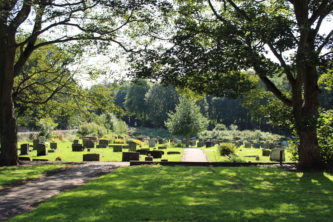
The New Churchyard
(from 1933)
Search the Burial Records
Click on Sheet below and use CTRL F to find names, or sort entried by clicking on arrow to top of column ('text filters' 'contains' is useful)
Clicking on the name will jump to the grave location and the grave number. Burials within the same plot are linked by clicking on 'linked n' in each entry.
Please note - if you do a 'filter' it will list all entries by a name, but to see the map you need to note the numbers and clear the filter first.
Images of the headstone can be viewed by clicking on 'image' and 'image 2'
New Churchyard
1933-present
Owing to the age of the maps and the burial registers, some of the records are damaged and others are somewhat illegible. We have done our best to transpose all the data accurately, but do not guarantee that everything is correct. If you would like a formal search in the original documents, please contact the church office. There is normally a fee for a formal record search.
100's of volunteer hours have gone into researching, finding and digitising our burial records and maps. Work on creating the interactive map of the churchyard is ongoing. If you wish to support this project, please get in touch or make a donation now by visiting our 'support' page.
If you spot any mistakes (some records were very hard to read) or wish to add an image, please feel free to contact us.
If you spot any mistakes (some records were very hard to read) or wish to add an image, please feel free to contact us.
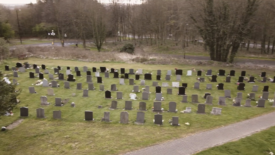
The Old Churchyard
(1879-1970)
The original churchyard map is now held at the Durham Archive and in places is quite damaged and faded. Not all burials seem to have been recorded on it, but our volunteers have done their best to digitise the map data. If you would like to see a digital copy of the original, we can arrange that. Please consider supporting our work as 100's of volunteer hours have gone into digitising these records, which have been reproduced as accurately as possible.
They are here for you to look up ancestors or just investigate who lived and died in the local area over the past 150 years.
They are here for you to look up ancestors or just investigate who lived and died in the local area over the past 150 years.
Search the Old Churchyard Burial Records
1879 - 1970
These old records date from 1879 to 1970. The churchyard was technically full by 1933 when the new churchyard was consecrated, but re-openings took place and a few extra graves were created until it was closed and designated as an open space for the community under the local parish council in 1971.
If you would like a formal search in the original documents, please contact the church office. There is normally a fee for a formal record search.
If you would like a formal search in the original documents, please contact the church office. There is normally a fee for a formal record search.
St George's Church,
Vigo Lane,
Harraton,
Washington,
Tyne and Wear,
NE38 9AH.
Tel: 0191 415 4200.
Registered Charity Number: 1190509
Vigo Lane,
Harraton,
Washington,
Tyne and Wear,
NE38 9AH.
Tel: 0191 415 4200.
Registered Charity Number: 1190509
Experimental Interactive Grave Map
Work in progress - trial below